Westshore, Napier
History
From a sandy spit and tidal lagoon to the cherished coastal community it is today.
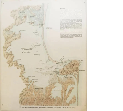
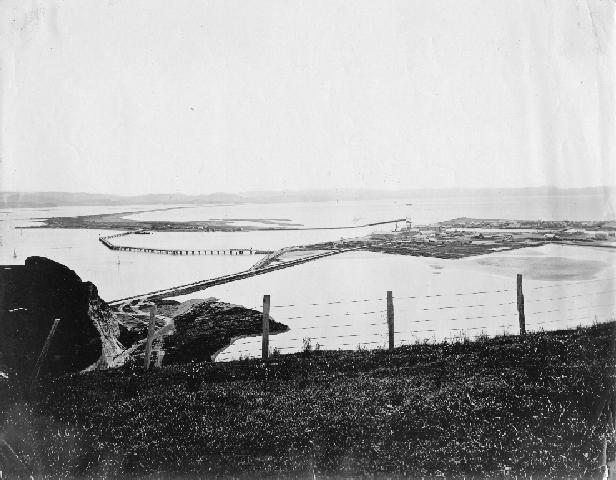
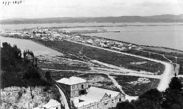
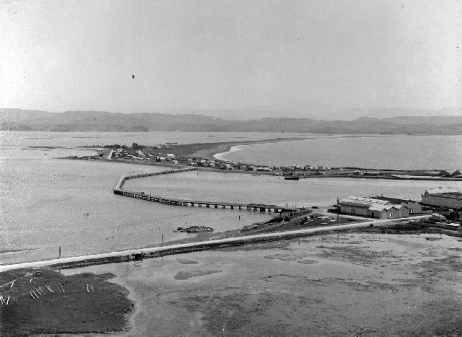
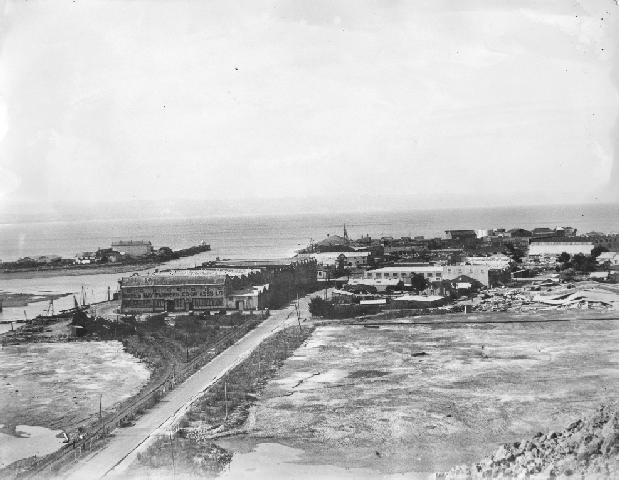
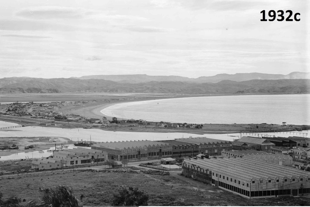
1865 — Plan showing Ahuriri Lagoon & surroundings
Early days
A sandy spit and a rich lagoon
The Westshore area was historically a sandy spit sheltering the Ahuriri Lagoon. For Māori, the lagoon and its surrounds were a rich food-gathering place, abundant with fish, shellfish, and birdlife.
Late 1800s
A seaside settlement grows
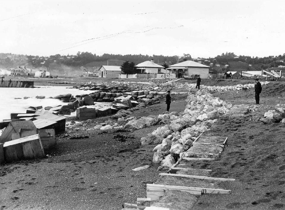
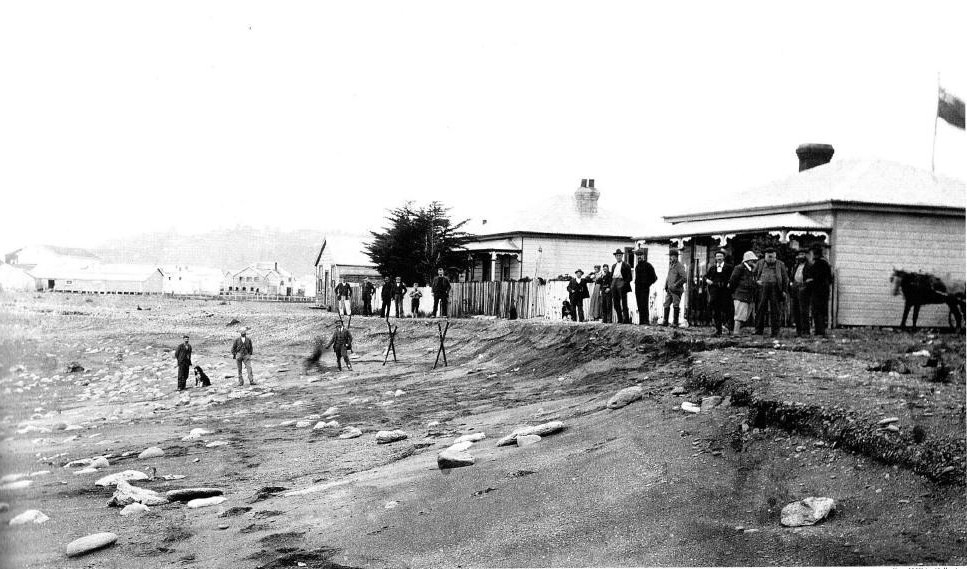
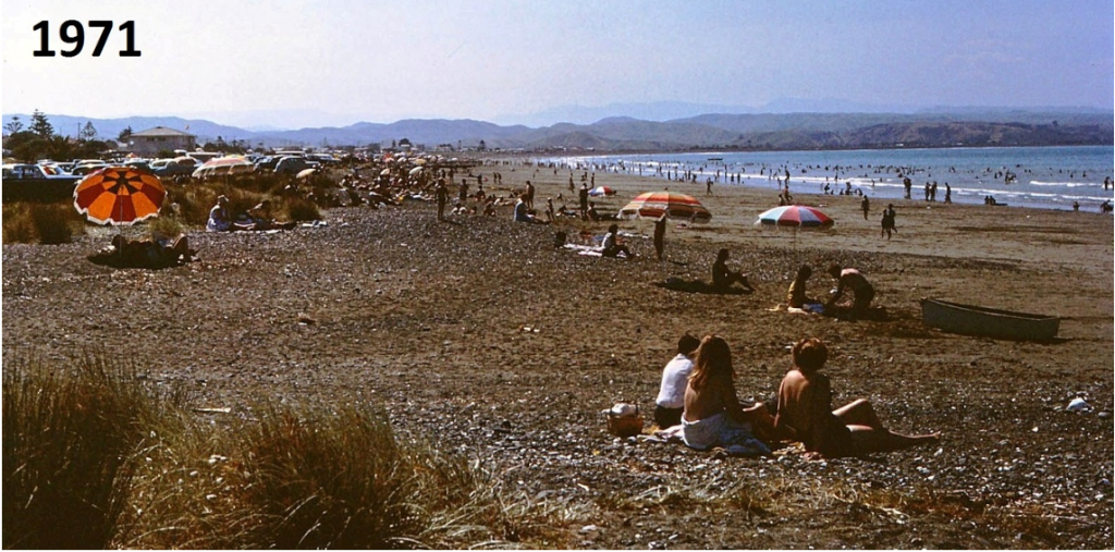
From the late nineteenth century, Westshore developed as a seaside settlement and a popular bathing spot for Napier residents, with baches, a hotel, and a growing community of permanent residents.
1931
The Hawke's Bay earthquake
The devastating 1931 earthquake reshaped the entire coastline. Land around Westshore was raised significantly, draining much of the Ahuriri Lagoon and creating new land that defines the area today.
Today
A cherished coastal enclave
Modern Westshore balances its coastal character with a strong community spirit. It remains a sought-after place to live — quiet, connected to nature, and proud of its distinct identity within Napier.
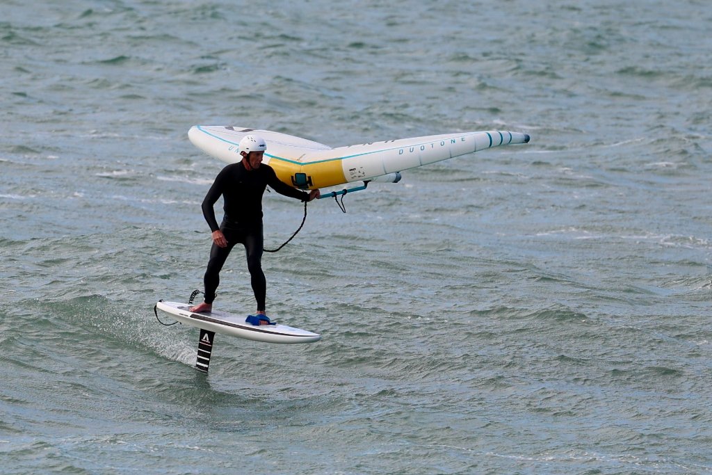
Westshore's waters are a playground for the community today.